About Asakhe
Phone verified
Email verified
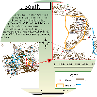
I provide maps and more maps. Highly skilled in ArcGIS, QGIS and ArcMap. At the University of the Western Cape, I studied cartography i.e. spatial analysis fundamentals, majoring in Remote Sensing data and Geographic Information System. I have supervisory skills in agriculture, mapping and evaluating the distribution pattern of healthy versus damaged vegetation in the context of the Table Mountain fire. Project presentation and analysis is part of my arsenal. I am very passionate about map making and my disadvantage is that I tend to focus on one detail at a time, so much for expecting everything to be perfect.
